File:Circuit Mont Tremblant.png
Jump to navigation
Jump to search
No higher resolution available.
Circuit_Mont_Tremblant.png (470 × 490 pixels, file size: 21 KB, MIME type: image/png)
The revision #21252 of the page named "File:Circuit Mont Tremblant.png" does not exist.
This is usually caused by following an outdated history link to a page that has been deleted. Details can be found in the deletion log.
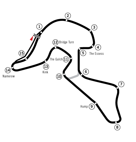
| Description | New version based on Image:Circuit Mont-Tremblant Track Map.svg. As such, the image is rotated to better show the pit area, should be more accurate, and more possible configurations are shown. |
| Date | |
| Source | Created by User:Will Pittenger with Inkscape |
| Author | User:Will Pittenger |
| Other versions |
 |
| Camera location | | View this and other nearby images on: OpenStreetMap |
|---|
| I, the copyright holder of this work, release this work into the public domain. This applies worldwide. In some countries this may not be legally possible; if so: I grant anyone the right to use this work for any purpose, without any conditions, unless such conditions are required by law. |
File history
Click on a date/time to view the file as it appeared at that time.
| Date/Time | Thumbnail | Dimensions | User | Comment | |
|---|---|---|---|---|---|
| current | 09:18, 13 July 2008 | | 470 × 490 (21 KB) | Arz | {{Information |Description= |Source= |Date= |Author= |Permission= |other_versions= }} |
File usage
There are no pages that use this file.